When Google released its Map Maker tool for Google Maps in the US it promised to further improve Google’s already impressive location-based services.Ever since that brainchild idea ( tool ) other Mapmaking applications and softwares have emerged on the cornerstone of the www.com , allowing users the ability to edit the Maps they create along with the location data, all the way from business phone numbers and other information to adding roads, streets and paths where they do not appear on the map.
These Map Making Apps even offer users the ability to create and mark suggested walking and riding paths to help improve walking and biking directions .
The following Apps we have collected are incredibly simple to use. Simply visit their respective sites, and you can immediately start mapping your neighborhood and just about anything else you need. The interface is familiar to anyone who’s ever worked with Google Maps or has ever filled out a Google Docs-based survey. Just find what you want to add and then it’s just a matter of outlining a path, or a street, or even highlighting the borders of a building with a few clicks.
We hope you will find them beneficial and well suited to your web design or development needs.
1. TileMill – An Application for Designing Beautiful Maps
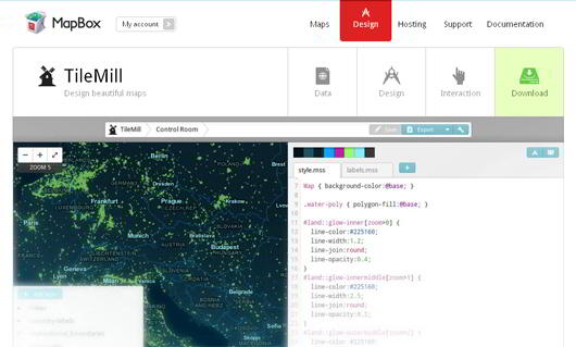
TileMill is an application that lets you make beautiful maps. TileMill helps journalist, web designers, researcher or seasoned cartographer to draw fully informative beautiful maps. TileMill is the design studio you need to create compelling interactive maps.
TileMill is built on several modern open source libraries including Mapnik, node.js, backbone.js, express and CodeMirror.jump. Maps which you design with TileMill are mobile ready, which enables users to access every type of mobile maps. By leveraging the portable, fast MBTiles format each TileMill map looks and works great on the web and offline.
TileMill comes with well-documented examples that illustrate the basics of layer, management feature styling and interaction. TileMill is only available for Mac and Linux users but the next version for windows will release soon.
Check Here
2. Map Builder
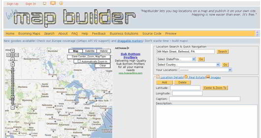
MapBuilder.net is a web2.0 service or rapid mashup development tool to build custom Google and Yahoo maps without any knowledge of the Google/Yahoo Maps API and JavaScript. MapBuilder provides a decent visual interface for the map building process with geocoding and import features. Map builder is a powerful yet useful tool that lets you easily design and develop interactive maps. Map Builder is easy to use and allows users to pick location with city and state or zip code and searches for the location’s latitude and longitude. It provides you an option of adding a caption, description, and picking the color and design of the marker. Map Builder proved itself as a useful and great tool for webmasters, web developers and designers.
Check Here
3. Quickmaps
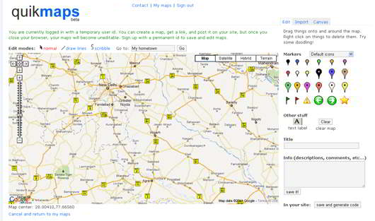
Quickmaps allows you to draw lines, flags over a map. You can also choose different markers and add descriptions to map points. Once you won’t find it helpful but once you will zoom it to street level, you will find that it’s a great way to map a route. Once you create a map, it will provide you a link so that you can post it on your website.
Check Here
4. MKMap
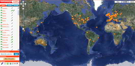
MkMap helps you to create maps for public use. It allows users to add public-transit routes and edit maps that others have created. MKMaps makes adding point easy, though the using of menu system and site employs is bit difficult. But once you will get used to it, one will find that crating the maps gets easier over time.
Check Here
5. Click2Map
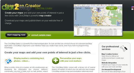
The Click2Map is powerful yet useful internet application. It has easy to use interface that helps users to create interactive maps easily even they aren’t aware of any programming language. Click2Map is really worth useful application that allows users to address, add text, photos, videos, or even embedded HTML content. It allows you to personalize your maps with several dozens of markers, lines and polygons can used for multiple purposes such as to highlight geographical areas or to highlight itineraries.
Apart from these click2Map allows you to host your maps on its severs, organize your data in your click2Map database, and you can also create your personalized marker templates.
Check Here
6. iMapbuilder
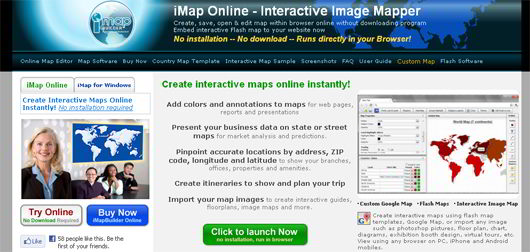
iMapbuilder allows you to create and design beautiful interactive maps both online and offline modes. Users can easily embed interactive online maps to any website by simply copy and paste few lines of HTML code. iMapbuilder lets users allow to add colors and annotation to maps for webpages, reports and predictions, allows you to add pinpoint accurate locations by address, zip code, longitude and latitude to show your branches, offices to solve your business purposes. It also allows you to import your map images to create interactive guides, floor plans, images and more.
iMapbuilder is available for online use and windows platform.
Check Here


